Weather Satellite Data
Advertisement

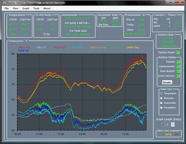
Weather Station Data Logger v.4.2.0.0
This Windows application will display and log weather data obtained through a USB connection to the Oregon Scientific WMR88, WMR100, WMR200 and RMS300 weather stations.
Advertisement
GeoSatSignal v.7.2.2.996
GeoSatSignal is a development of my SatSignal program, designed to process geostationary satellite data.
MSG Data Manager v.2.5.36.902
Meteosat-8 (or MSG-1 as it was known during trials) is the first of the new European geostationary weather satellites. MSG is an acronym for Meteosat Second Generation.

ATMOGRAPH ModelVis v.1.1
ATMOGRAPH is advanced weather model data visualization and analysis software for meteorologists, storm chasers, aviators, forecasters, and enthusiasts alike, combining free data sources from NCEP and NOAA to deliver THOUSANDS of data options.
Weather Dial Browser v.1.2.0.1
Weather Dial Browser allows you to graphically browse XML and Weather Underground data of various sensor sites on the internet.This utility links into NOAA's XML weather reports and the Weather Underground which are updated periodically.
Weather View 32 v.8.0.0027
Weather View 32 allows one to store all weather station data with 1 minute resolution and separate database for daily max/mins, limited only by the storage space of the computer.
RealMeteo v.4.15.5
It is a friendly realtime interface that shows weather images. Realmeteo has a wide database of weather satellite images link. Is a friendly realtime interface that shows weather images. Realmeteo has a wide database of weather satellite image links.
McIDAS-Lite v.1.5.5
McIDAS-Lite is a freely available demo for the full McIDAS software (More info available at http://www.
PANCROMA v.4 8
PANCROMA pan sharpening is the Simple yet Powerful GIS software application for creating 15m resolution color pan sharpened images from FREE Landsat ETM satellite data for ANY part of the world.
WXSIMATE v.5.0
WXSIMATE is a internet and home weather station data collector for the program WXSIM.

INSAT_2E v.1.0.0.0
INSAT-2E is an Indian geostationary communications and weather satellite which is operated by the Indian Space Research Organisation as part of the Indian National Satellite
